Planning and Zoning Office


The Planning & Zoning Office works with citizens and businesses to ensure that land use complies with the Town of Jericho Land Use Regulations. The Office coordinates with the Development Review Board to process and review site plans, subdivisions, approve various land uses.


(click image to view)


(click image t
o view)

In addition, the Office works with the Planning Commission to modify, update and implement the Town Plan. The Plan defines the long range goals and intentions regarding the nature and direction of future development within the Town of Jericho. It contains elements on land use, transportation, economic development, natural resources, energy, municipal services, education, cultural and historic resources and housing.


The Town is divided up into seven zoning districts as seen here on the Zoning Map

&

several overlay districts, including the recently amended Natural Resources Overlay District.

(click images to view)


(click image to view)
If you're looking to develop on your property, you are likely to need a Zoning Permit. For more information on that process, visit the FAQs on the right side of this page. Certain types of development also require a Certificate of Occupancy. See the FAQ section on this page for more details. To find out what associated fees are, check out our Fee Schedule.


Additional key Planning and Zoning documents may all be found on the Town Documents page.


  • Lamoille Basin Plan Public Meeting

    supporting image

    WHAT IS GOING ON IN YOUR WATERSHED?

    2021 Lamoille Tactical Basin Plan Public Meeting

    THURSDAY, OCTOBER 14, 6 p.m. – 7:45 p.m.

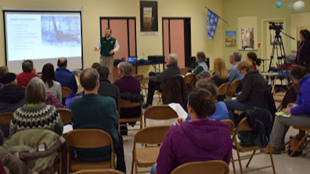
    Join the Lamoille River Watershed Planner and watershed partners for a presentation and discussion on the 5-year update to the State of Vermont Lamoille River Tactical Basin Plan.

    • Learn where water quality restoration and protection efforts have been identified and applied in the basin
    • Participate in the Public Discussion & Comment Period
    • Find out who your local watershed partners are and how you can help to protect and restore water quality
    • Ask questions and provide feedback on the plan and its priorities

    Three ways to participate!

    1. Participate in person at: Jericho Town Office 67 VT-15, Jericho, VT MASKS are REQUIRED, SNACKS are FREE, ALL are WELCOME!
    2. Or join the meeting online: https://bit.ly/3hBp1A7
    3. Or call-in: 802-828-7667 Conference ID: 865792146#
Page last updated: 15 Jan 2025, 12:51 PM